


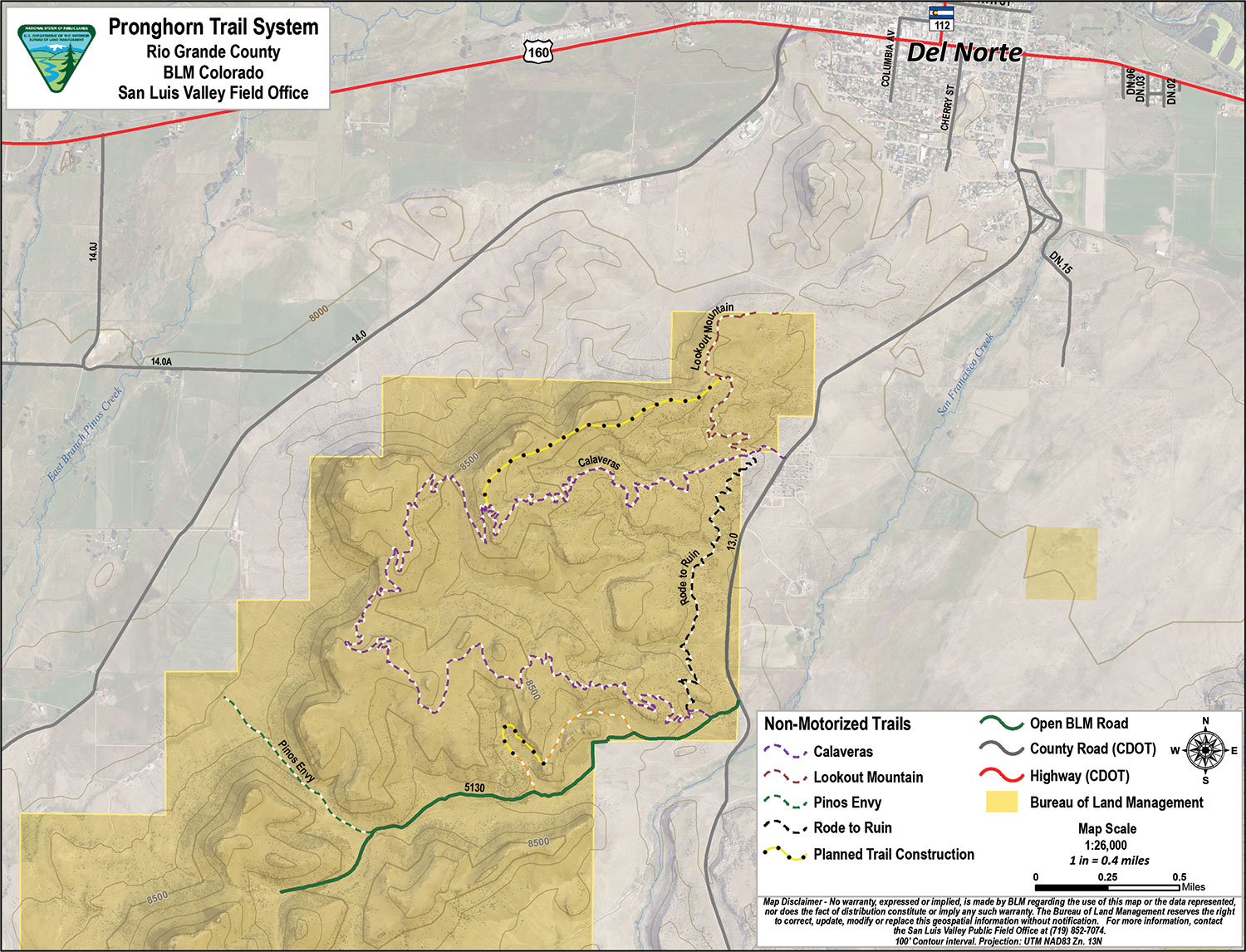
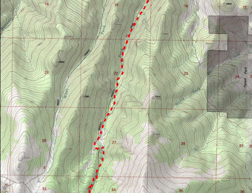
The BLM’s Pronghorn Trails System, totaling 9.5 miles of purpose-built single track trails, was constructed in the summer of 2016. The non-motorized natural surface trails are rated intermediate to advanced for mountain bikers. Located between County Rd. 13 and County Rd. 14, Pronghorn is south of Del Norte and connects to Del Norte’s Lookout Mountain Park and Trails. See Map Here The trail area is situated at elevations of 7,884 to 8,600 feet, and is open from May 1 to December 31.
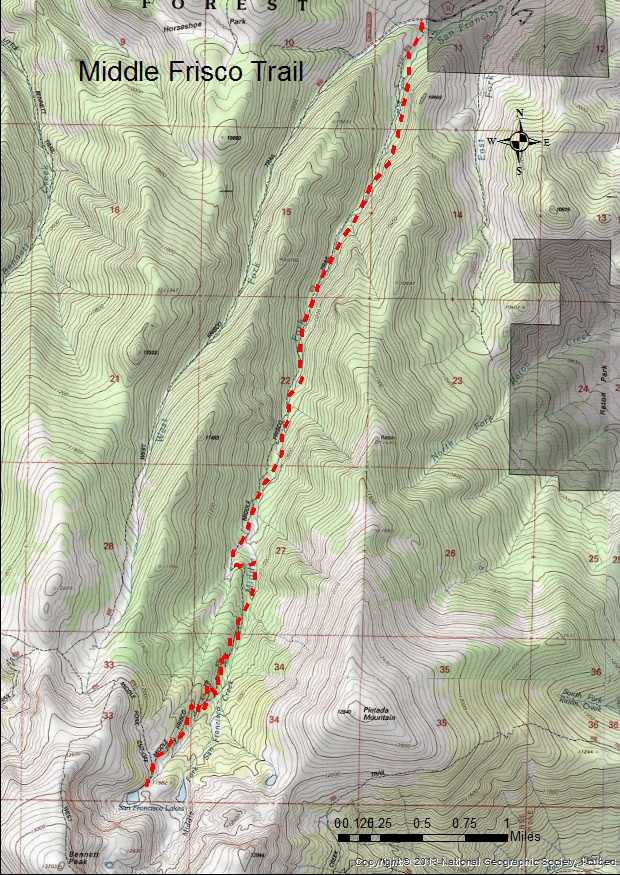
For hikers and mountain bikers, this NEPA approved trail has long, mostly gradual climbs and descents. The area has a mix of rock features, canyon, and big vistas of San Francisco Creek, the San Luis Valley and the Sangre de Cristo Mountain range. Designed as one large loop, the climbs/descents are longer than many in the area with some excellent lower watershed features. Mule deer, elk, falcons, hawks, and other bird species, desert flowers, grasses and reptiles inhabit the area.
This trail is 1 ½ miles south of Del Norte, CO on Rio Grande County Road 13 (aka French Street). It is easily accessed off of US Highway 160; turn south onto French Street in Del Norte, which becomes County Road 13. The Pronghorn north trail head parking and information kiosks are across from the Del Norte Cemetery.